08
Service 08
We use GIS to manage, analyze, and visualize spatial data for better decision-making in urban development, transportation, and resource management.
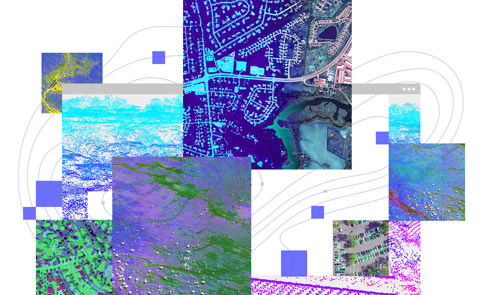
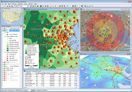
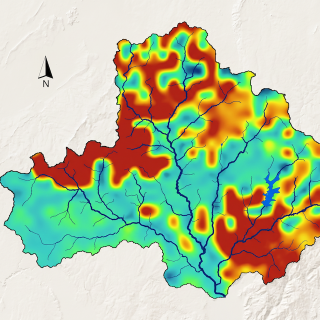
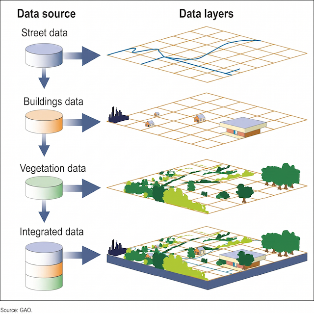
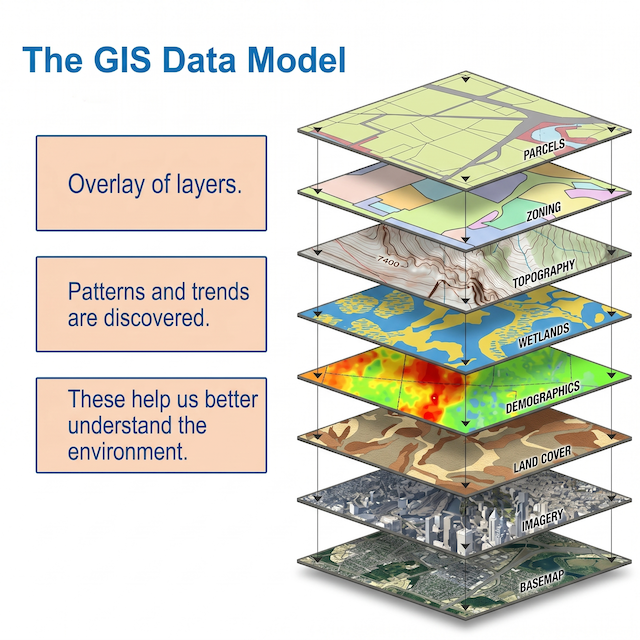
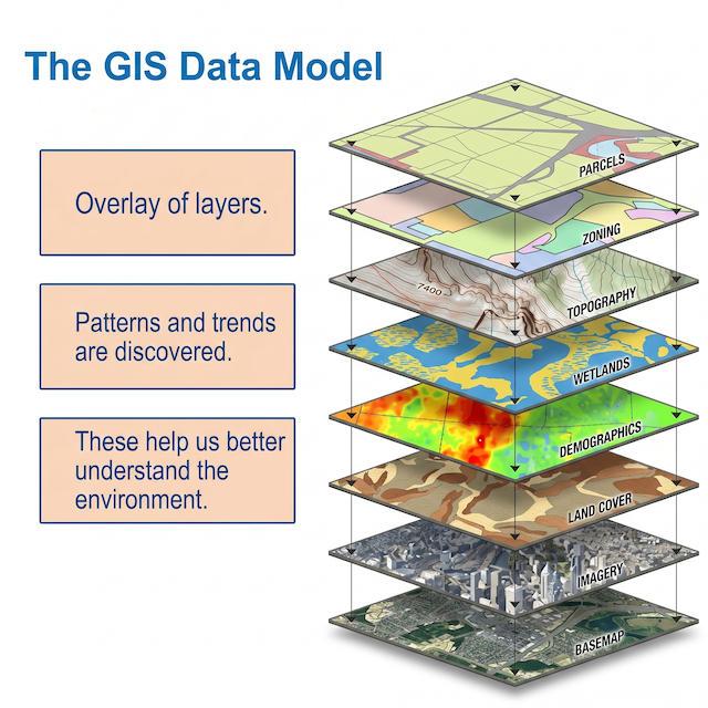
Our GIS services empower organizations to harness the full potential of geographic data through customized spatial solutions. We specialize in developing robust GIS frameworks that collect, analyze, and visualize complex geospatial information - transforming raw data into layered, interactive maps and actionable business intelligence.
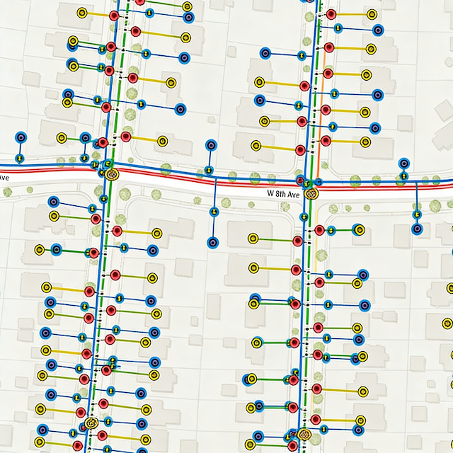
With deep expertise in cloud-based SaaS platforms and geospatial analytics, we deliver tailored solutions for utilities, engineering firms, and resource management companies, enabling smarter infrastructure planning, asset management, and operational decision-making.
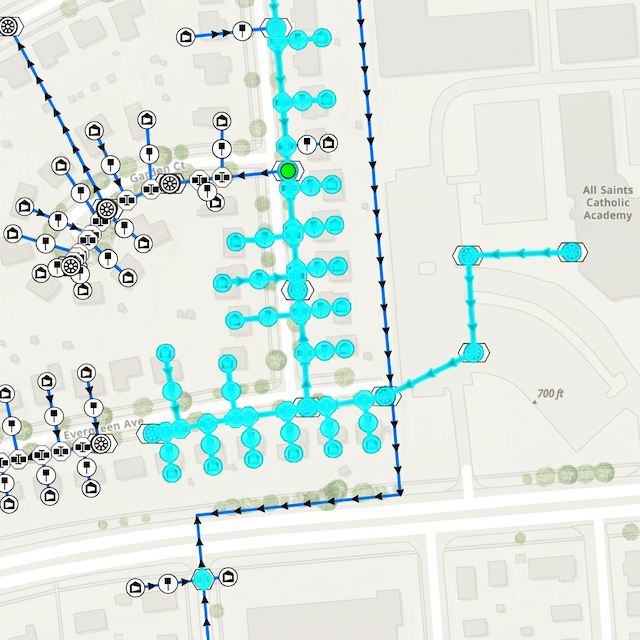
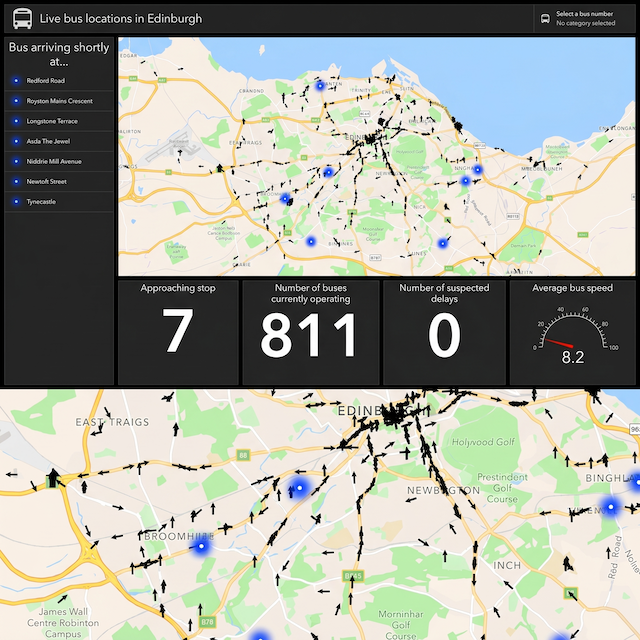
Whether integrating IoT data streams, optimizing utility networks, or creating dynamic spatial models, our proven GIS capabilities help clients solve location-based challenges with precision and efficiency.