01
Service 01
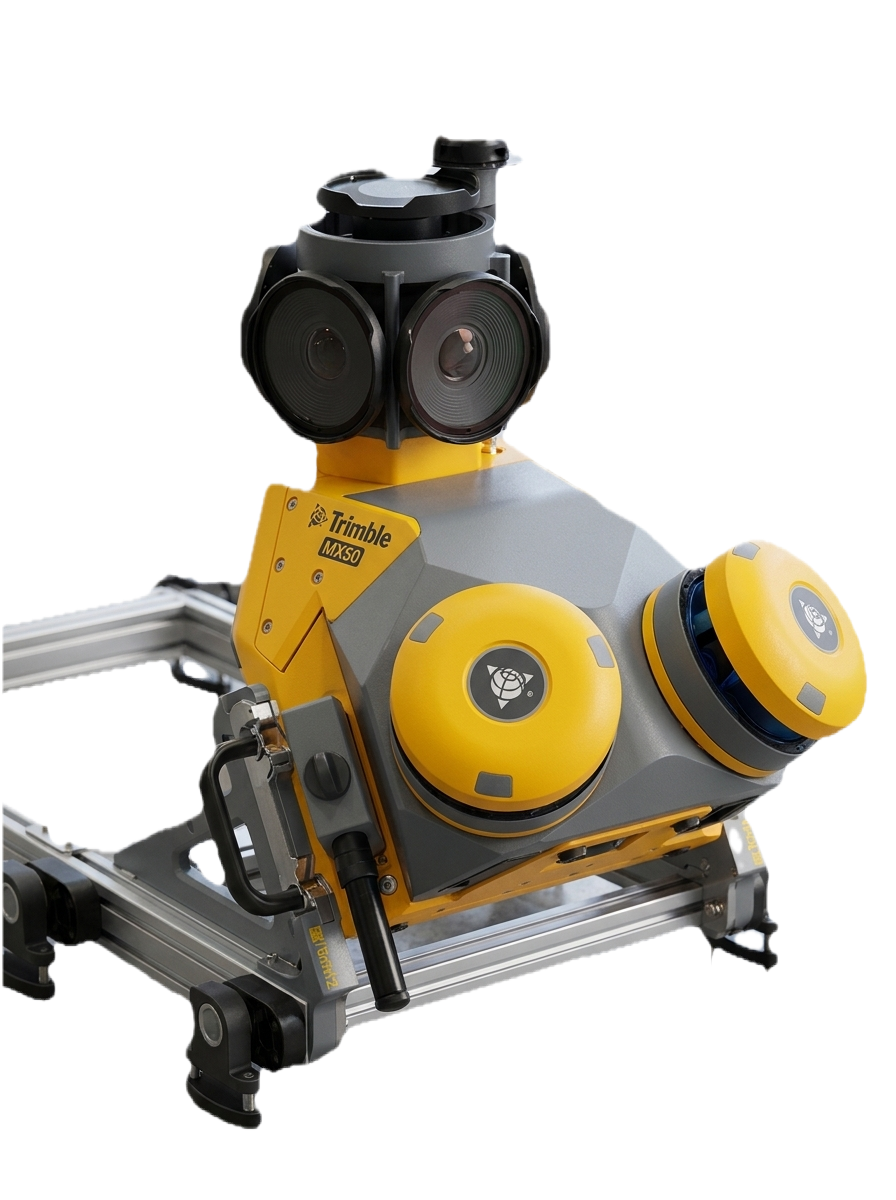
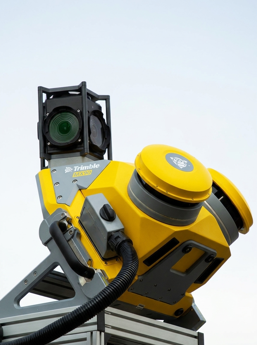
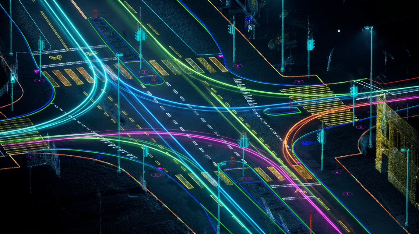
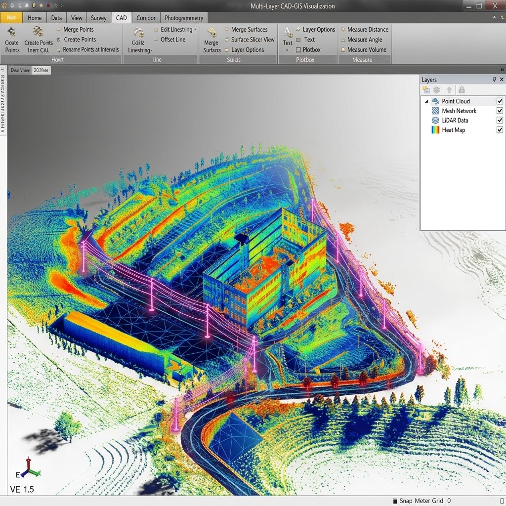
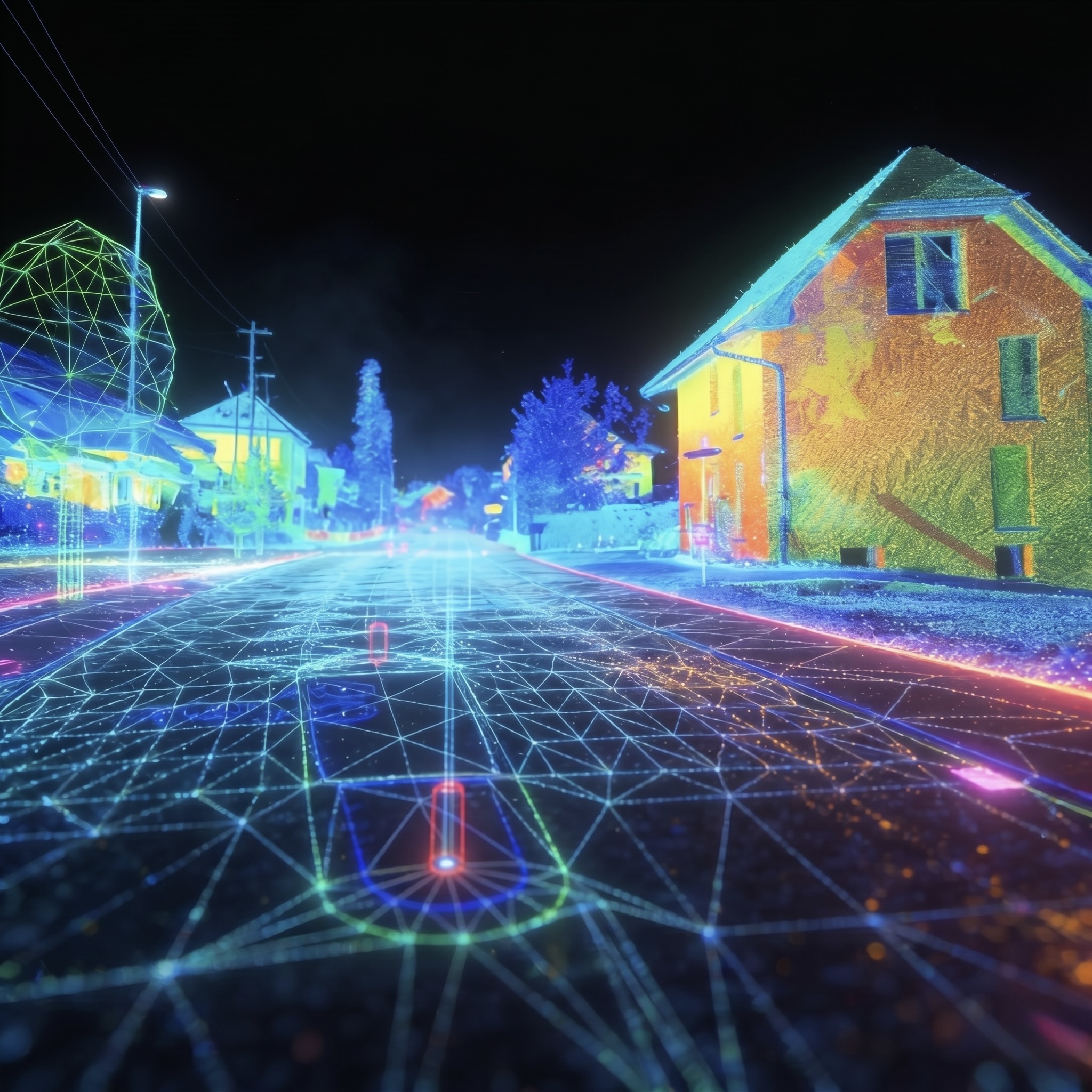
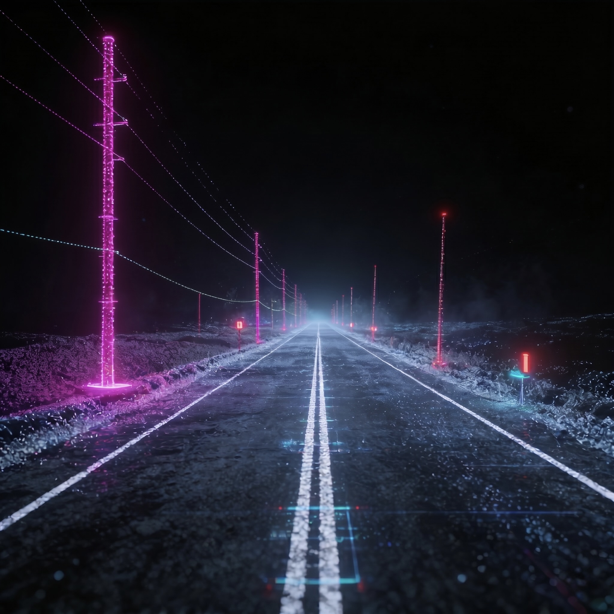
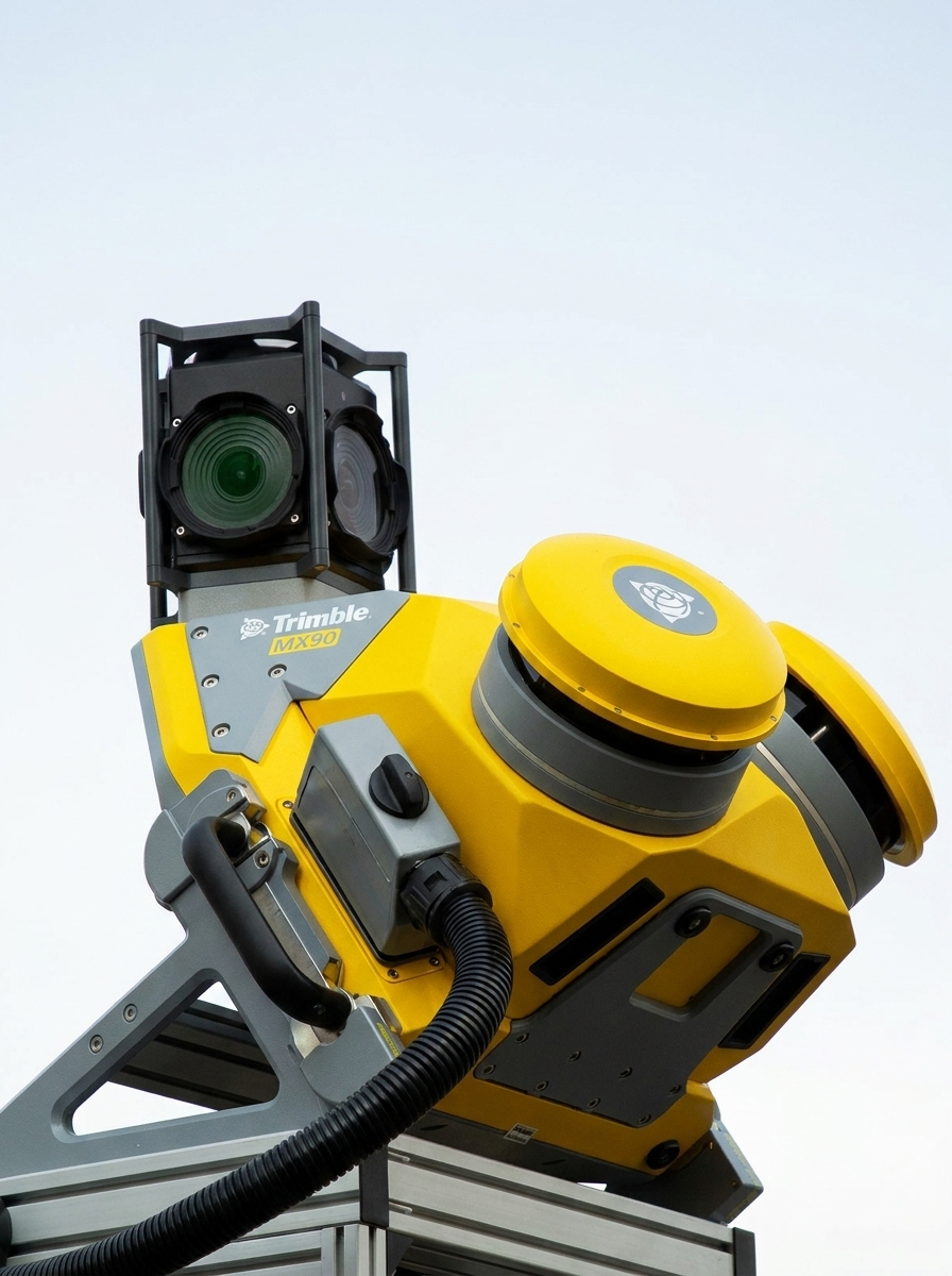
MMS is a vehicle-mounted mapping systems for large-scale mapping projects.
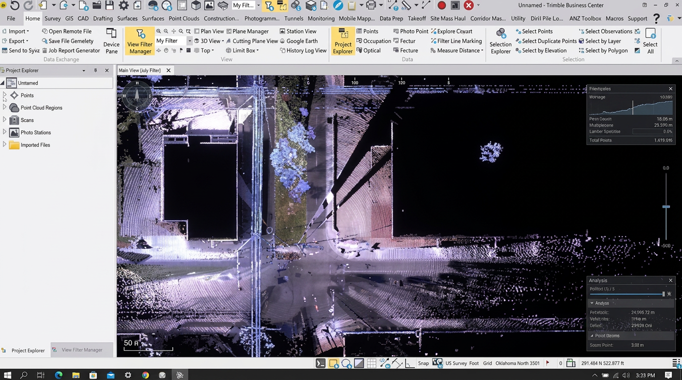
allows us to rapidly collect accurate geospatial data while in motion. Using vehicle-mounted cameras, LiDAR, and GNSS systems, we generate real-world spatial data at high speed and precision—ideal for mapping roads, cities, and urban infrastructure. so you can rapidly collect enormous amounts of accurate, georeferenced spatial data and transform it into 3D models, maps, GIS deliverables and more.