06
Service 06
We provides comprehensive land surveying services for projects of all scales—from individual plots to large multi-acre developments across KSA.
By leveraging the most cost-effective and advanced technologies, we ensure our clients receive precise, detailed, and customized geospatial data tailored to their project requirements.
Our expertise includes the use of cutting-edge tools such as:
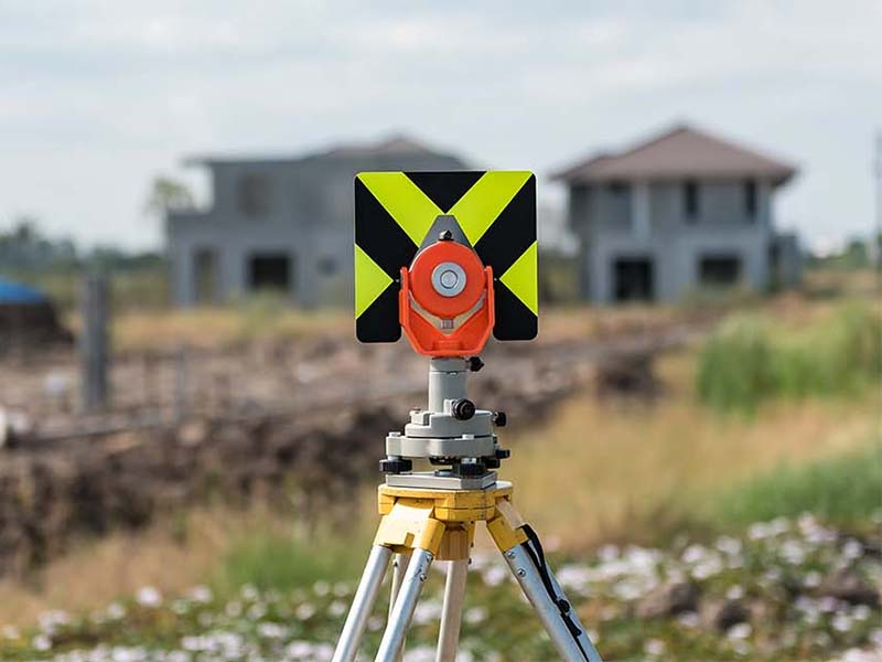
GNSS (Global Navigation Satellite Systems), Total Stations, 3D Laser Scanning, LIDAR (Light Detection and Ranging), Unmanned Aerial Vehicles (UAVs / Drones).
We deliver surveys in multiple formats, adhering to industry standards and client-specific specifications, including:
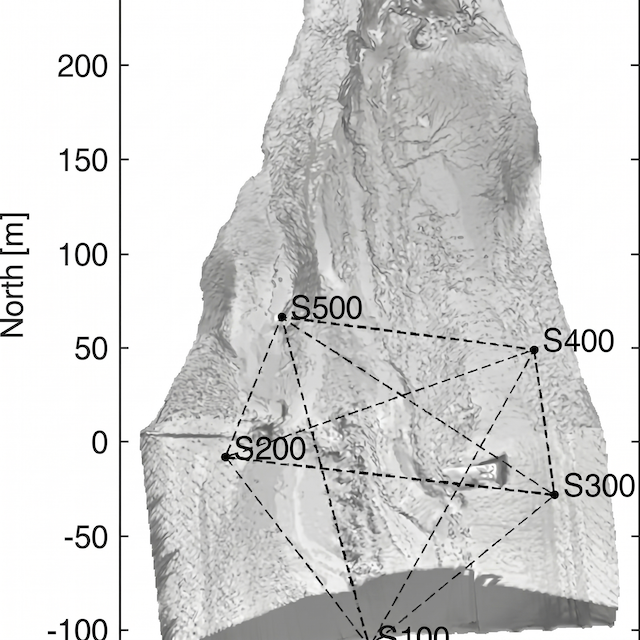
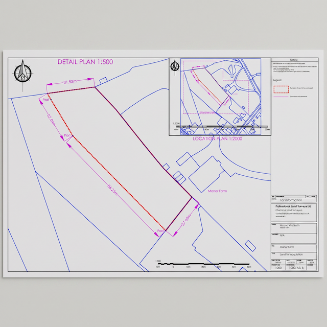
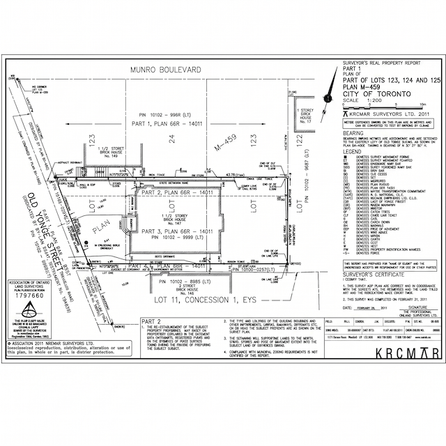
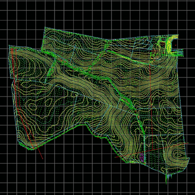
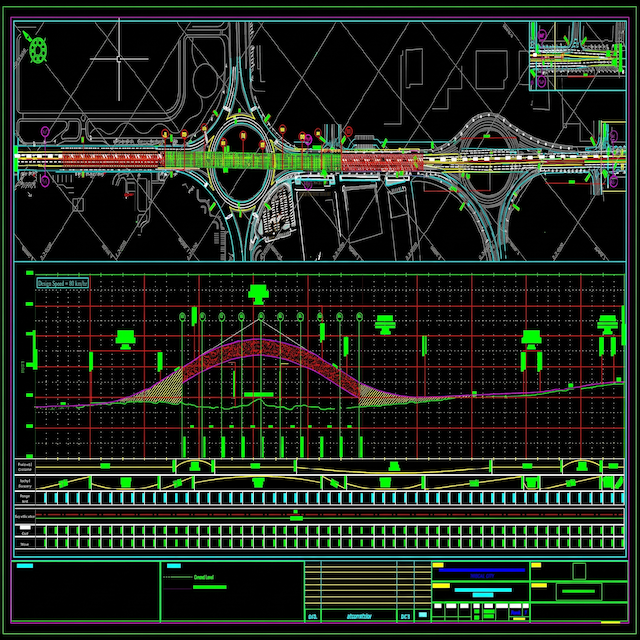
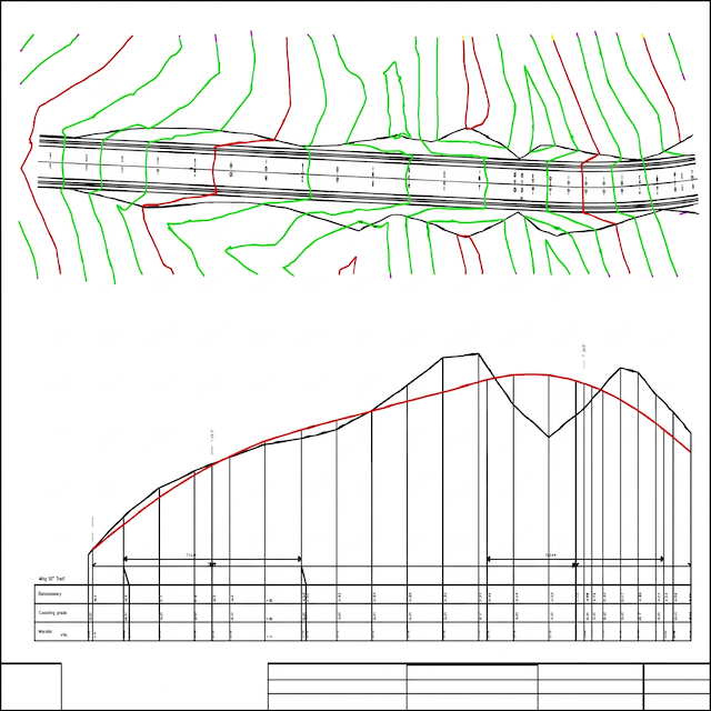
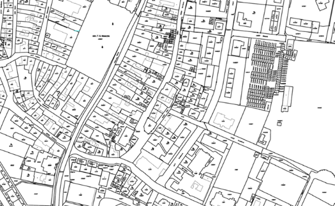
CAD drawings (AutoCAD, Revit), BIM (Building Information Modeling), Topographic maps, Digital Terrain Models (DTMs), Point cloud data, GIS-compatible formats.
Whether for construction, engineering, urban planning, or infrastructure development, we ensures accuracy, efficiency, and reliability in every survey.